


Location:
Eastern Asia, northern half of the Korean Peninsula bordering the Korea Bay and the Sea of Japan, between China and South Korea
Geographic coordinates:
40 00 N, 127 00 E
Map references:
Asia
Area:
total: 120,538 sq km
[see also: Area - total country ranks ]
land: 120,408 sq km
[see also: Area - land country ranks ]
water: 130 sq km
[see also: Area - water country ranks ]
country comparison to the world: 99
Area - comparative:
slightly larger than Virginia; slightly smaller than Mississippi
Area comparison map: 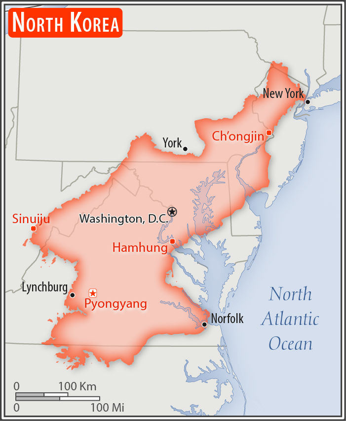
Land boundaries:
total: 1,607 km
border countries (3): China 1,352 km, South Korea 237 km, Russia 18 km
[see also: Land boundaries country ranks ]
Coastline:
2,495 km
[see also: Coastline country ranks ]
Maritime claims:
territorial sea: 12 nm
exclusive economic zone: 200 nm
note: military boundary line 50 nm in the Sea of Japan and the exclusive economic zone limit in the Yellow Sea where all foreign vessels and aircraft without permission are banned
Climate:
temperate, with rainfall concentrated in summer; long, bitter winters
Terrain:
mostly hills and mountains separated by deep, narrow valleys; wide coastal plains in west, discontinuous in east
Elevation:
mean elevation:
[see also: Mean Elevation country ranks ]
elevation extremes:
lowest point: Sea of Japan 0 m
highest point: Paektu-san 2,744 m
Natural resources:
coal, lead, tungsten, zinc, graphite, magnesite, iron ore, copper, gold, pyrites, salt, fluorspar, hydropower
Land use:
agricultural land: 21.8%
arable land 19.5%; permanent crops 1.9%; permanent pasture 0.4%
[see also: Land use - agricultural land country ranks ]
forest: 46%
[see also: Land use - forest country ranks ]
other: 32.2% (2011 est.)
[see also: Land use - other country ranks ]
Irrigated land:
14,600 sq km (2012)
[see also: Irrigated land country ranks ]
Total renewable water resources:
77.15 cu km (2011)
[see also: Total renewable water resources country ranks ]
Freshwater withdrawal (domestic/industrial/agricultural):
total: 8.66 cu km/yr (10%/13%/76%)
per capita: 360.6 cu m/yr (2005)
Natural hazards:
late spring droughts often followed by severe flooding; occasional typhoons during the early fall
volcanism: Changbaishan (elev. 2,744 m) (also known as Baitoushan, Baegdu or P'aektu-san), on the Chinese border, is considered historically active
Environment - current issues:
water pollution; inadequate supplies of potable water; waterborne disease; deforestation; soil erosion and degradation
Environment - international agreements:
party to: Antarctic Treaty, Biodiversity, Climate Change, Climate Change-Kyoto Protocol, Desertification, Environmental Modification, Hazardous Wastes, Ozone Layer Protection, Ship Pollution
signed, but not ratified: Law of the Sea
Geography - note:
strategic location bordering China, South Korea, and Russia; mountainous interior is isolated and sparsely populated
 - Please bookmark this page (add it to your favorites).