


Location:
Southeastern Asia, bordering the Andaman Sea and the Bay of Bengal, between Bangladesh and Thailand
Geographic coordinates:
22 00 N, 98 00 E
Map references:
Southeast Asia
Area:
total: 676,578 sq km
[see also: Area - total country ranks ]
land: 653,508 sq km
[see also: Area - land country ranks ]
water: 23,070 sq km
[see also: Area - water country ranks ]
country comparison to the world: 40
Area - comparative:
slightly smaller than Texas
Area comparison map: 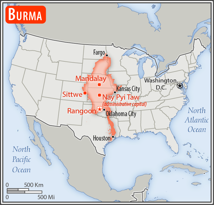
Land boundaries:
total: 6,522 km
border countries (5): Bangladesh 271 km, China 2,129 km, India 1,468 km, Laos 238 km, Thailand 2,416 km
[see also: Land boundaries country ranks ]
Coastline:
1,930 km
[see also: Coastline country ranks ]
Maritime claims:
territorial sea: 12 nm
contiguous zone: 24 nm
exclusive economic zone: 200 nm
continental shelf: 200 nm or to the edge of the continental margin
Climate:
tropical monsoon; cloudy, rainy, hot, humid summers (southwest monsoon, June to September); less cloudy, scant rainfall, mild temperatures, lower humidity during winter (northeast monsoon, December to April)
Terrain:
central lowlands ringed by steep, rugged highlands
Elevation:
mean elevation:
[see also: Mean Elevation country ranks ]
elevation extremes:
lowest point: Andaman Sea/Bay of Bengal 0 m
highest point: Gamlang Razi 5,870 m
Natural resources:
petroleum, timber, tin, antimony, zinc, copper, tungsten, lead, coal, marble, limestone, precious stones, natural gas, hydropower, arable land
Land use:
agricultural land: 19.2%
arable land 16.5%; permanent crops 2.2%; permanent pasture 0.5%
[see also: Land use - agricultural land country ranks ]
forest: 48.2%
[see also: Land use - forest country ranks ]
other: 32.6% (2011 est.)
[see also: Land use - other country ranks ]
Irrigated land:
22,950 sq km (2012)
[see also: Irrigated land country ranks ]
Total renewable water resources:
1,168 cu km (2011)
[see also: Total renewable water resources country ranks ]
Freshwater withdrawal (domestic/industrial/agricultural):
total: 33.23 cu km/yr (10%/1%/89%)
per capita: 728.6 cu m/yr (2005)
Natural hazards:
destructive earthquakes and cyclones; flooding and landslides common during rainy season (June to September); periodic droughts
Environment - current issues:
deforestation; industrial pollution of air, soil, and water; inadequate sanitation and water treatment contribute to disease
Environment - international agreements:
party to: Biodiversity, Climate Change, Climate Change-Kyoto Protocol, Desertification, Endangered Species, Law of the Sea, Ozone Layer Protection, Ship Pollution, Tropical Timber 83, Tropical Timber 94
signed, but not ratified: none of the selected agreements
Geography - note:
strategic location near major Indian Ocean shipping lanes
 - Please bookmark this page (add it to your favorites).