


Location:
Eastern Africa, bordering the Red Sea, between Djibouti and Sudan
Geographic coordinates:
15 00 N, 39 00 E
Map references:
Africa
Area:
total: 117,600 sq km
[see also: Area - total country ranks ]
land: 101,000 sq km
[see also: Area - land country ranks ]
water: 16,600 sq km
[see also: Area - water country ranks ]
country comparison to the world: 101
Area - comparative:
slightly larger than Pennsylvania
Area comparison map: 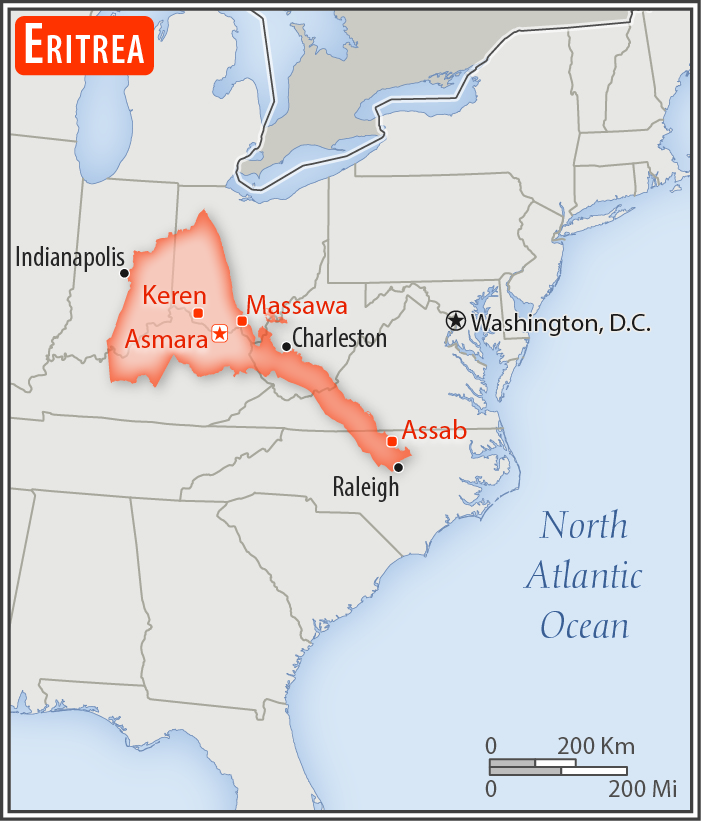
Land boundaries:
total: 1,840 km
border countries (3): Djibouti 125 km, Ethiopia 1,033 km, Sudan 682 km
[see also: Land boundaries country ranks ]
Coastline:
2,234 km (mainland on Red Sea 1,151 km, islands in Red Sea 1,083 km)
[see also: Coastline country ranks ]
Maritime claims:
territorial sea: 12 nm
Climate:
hot, dry desert strip along Red Sea coast; cooler and wetter in the central highlands (up to 61 cm of rainfall annually, heaviest June to September); semiarid in western hills and lowlands
Terrain:
dominated by extension of Ethiopian north-south trending highlands, descending on the east to a coastal desert plain, on the northwest to hilly terrain and on the southwest to flat-to-rolling plains
Elevation:
mean elevation:
[see also: Mean Elevation country ranks ]
elevation extremes:
lowest point: near Kulul within the Danakil Depression -75 m
highest point: Soira 3,018 m
Natural resources:
gold, potash, zinc, copper, salt, possibly oil and natural gas, fish
Land use:
agricultural land: 75.1%
arable land 6.8%; permanent crops 0%; permanent pasture 68.3%
[see also: Land use - agricultural land country ranks ]
forest: 15.1%
[see also: Land use - forest country ranks ]
other: 9.8% (2011 est.)
[see also: Land use - other country ranks ]
Irrigated land:
210 sq km (2012)
[see also: Irrigated land country ranks ]
Total renewable water resources:
6.3 cu km (2011)
[see also: Total renewable water resources country ranks ]
Freshwater withdrawal (domestic/industrial/agricultural):
total: 0.58 cu km/yr (5%/0%/95%)
per capita: 121.3 cu m/yr (2004)
Natural hazards:
frequent droughts, rare earthquakes and volcanoes; locust swarms
volcanism: Dubbi (elev. 1,625 m), which last erupted in 1861, was the country's only historically active volcano until Nabro (2,218 m) came to life on 12 June 2011
Environment - current issues:
deforestation; desertification; soil erosion; overgrazing; loss of infrastructure from civil warfare
Environment - international agreements:
party to: Biodiversity, Climate Change, Climate Change-Kyoto Protocol, Desertification, Endangered Species, Hazardous Wastes, Ozone Layer Protection
signed, but not ratified: none of the selected agreements
Geography - note:
strategic geopolitical position along world's busiest shipping lanes; Eritrea retained the entire coastline of Ethiopia along the Red Sea upon de jure independence from Ethiopia on 24 May 1993
 - Please bookmark this page (add it to your favorites).